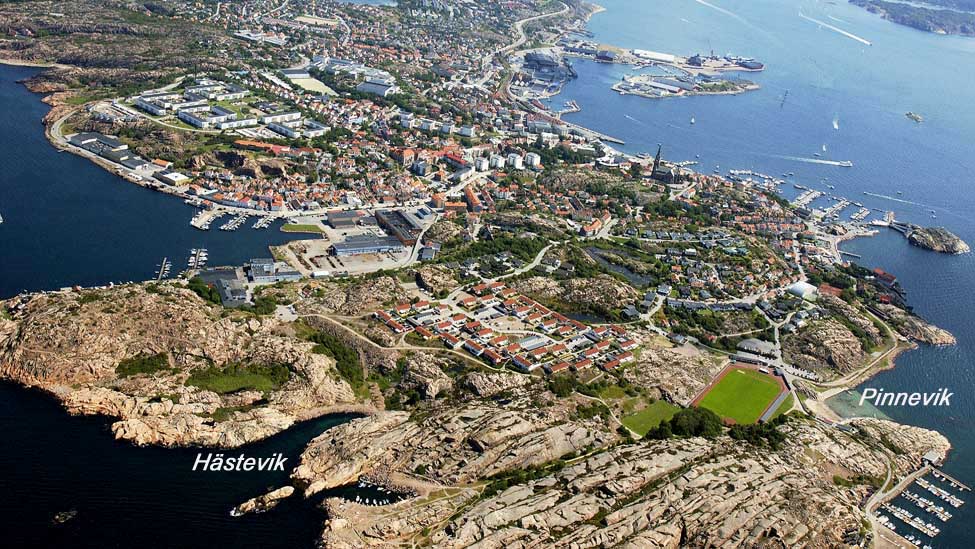
Aerial photo over parts of Stångehuvud and Lysekil
View from a drone (moving) over Stångehuvud (external link): Look at www.hitta.se Look at: "Stångehuvuds naturreservat" and click at Drönarbild to the left..
Photo: Bergslagsbild for Lysekils kommun
Back to map